2009
NT4936 : Farmland on Blaikie's Hill
taken 15 years ago, near to Galashiels, Scottish Borders, Scotland
This is 1 of 2 images, with title starting with Farmland in this square
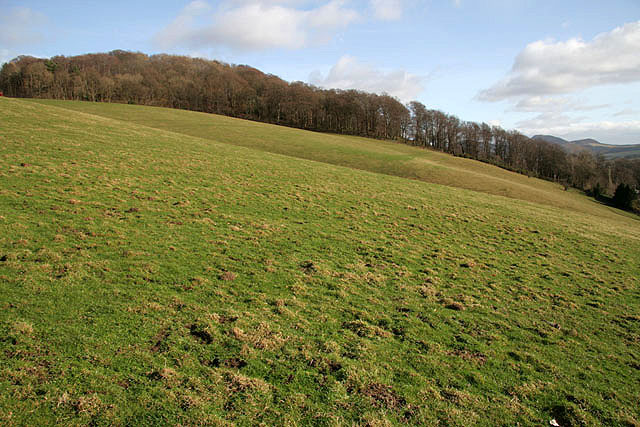
Farmland on Blaikie's Hill
A sloping livestock field that extends into the next square, with Langlee Woodlands in the background.
 Map © Crown Copyright")
TIP: Click the map for more Large scale mapping
- Grid Square
- NT4936, 803 images (more nearby 🔍)
- Photographer
- Walter Baxter (more nearby)
- Date Taken
- Sunday, 22 February, 2009 (more nearby)
- Submitted
- Monday, 23 February, 2009
- Subject Location
-
OSGB36:
 NT 4997 3608 [10m precision]
WGS84: 55:36.9436N 2:47.7516W - Camera Location
-
OSGB36: NT 4995 3609
- View Direction
- East-southeast (about 112 degrees)