2008
SO4166 : Lane to Lower Lye - 2
taken 15 years ago, near to Lower Lye, County of Herefordshire, England
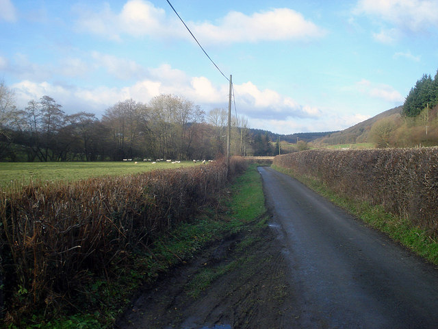
Lane to Lower Lye - 2
Looking north-west along the flat valley bottom. The stream follows the tree-line on the left of the sheep pasture.
 Map © Crown Copyright")
TIP: Click the map for more Large scale mapping
- Grid Square
- SO4166, 18 images (more nearby 🔍)
- Photographer
- Trevor Rickard (more nearby)
- Date Taken
- Monday, 24 November, 2008 (more nearby)
- Submitted
- Tuesday, 24 February, 2009
- Subject Location
-
OSGB36:
 SO 413 665 [100m precision]
WGS84: 52:17.6304N 2:51.7088W - Camera Location
-
OSGB36: SO 413 665
- View Direction
- Northwest (about 315 degrees)