2009
TQ4502 : Denton Road
taken 15 years ago, near to Denton, East Sussex, England
This is 1 of 2 images, with title Denton Road in this square
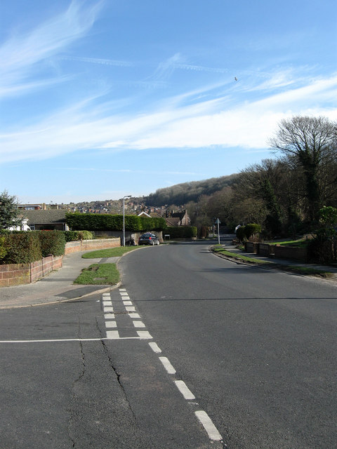
Denton Road
Taken from the junction with Acacia Road and the old road leading to Denton village but no also used as access for what is now the expanded suburb of Newhaven. The wooded slope of Mount Pleasant is in the distance on the right.
 Map © Crown Copyright")
TIP: Click the map for more Large scale mapping
- Grid Square
- TQ4502, 115 images (more nearby 🔍)
- Photographer
- Simon Carey (more nearby)
- Date Taken
- Saturday, 21 February, 2009 (more nearby)
- Submitted
- Tuesday, 24 February, 2009
- Subject Location
-
OSGB36:
 TQ 452 024 [100m precision]
WGS84: 50:48.2201N 0:3.6316E - Camera Location
-
OSGB36: TQ 452 024
- View Direction
- East-northeast (about 67 degrees)