2009
SM7624 : Caer Bwdy lime kiln
taken 15 years ago, near to St Davids, Pembrokeshire/Sir Benfro, Wales
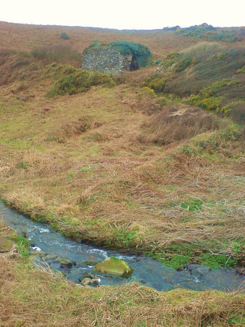
Caer Bwdy lime kiln
Also hidden under the bracken are the remains of a mill and cottage that were disused by 1889.(Ref OS County series Pembroke XX4)
 Map © Crown Copyright")
TIP: Click the map for more Large scale mapping
- Grid Square
- SM7624, 135 images (more nearby 🔍)
- Photographer
- Deborah Tilley (more nearby)
- Date Taken
- Friday, 27 February, 2009 (more nearby)
- Submitted
- Friday, 27 February, 2009
- Subject Location
-
OSGB36:
 SM 766 243 [100m precision]
WGS84: 51:52.3889N 5:14.7683W - Camera Location
-
OSGB36: SM 767 243
- View Direction
- West-northwest (about 292 degrees)