2009
SK2995 : More Hall Garden Centre ... In Ruins -1, Manchester Road, More Hall
taken 15 years ago, near to Wharncliffe Side, Sheffield, England
This is 1 of 8 images, with title starting with More Hall in this square
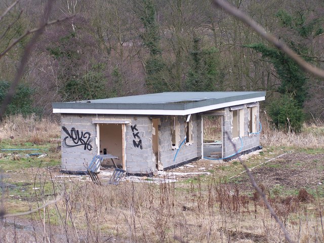
More Hall Garden Centre ... In Ruins -1, Manchester Road, More Hall
 Map © Crown Copyright")
TIP: Click the map for more Large scale mapping
- Grid Square
- SK2995, 70 images (more nearby 🔍)
- Photographer
- Terry Robinson (more nearby)
- Date Taken
- Friday, 20 February, 2009 (more nearby)
- Submitted
- Saturday, 28 February, 2009
- Subject Location
-
OSGB36:
 SK 297 958 [100m precision]
WGS84: 53:27.4870N 1:33.1963W - Camera Location
-
OSGB36: SK 296 957
- View Direction
- East-northeast (about 67 degrees)