2009
SP5811 : Oxfordshire Way
taken 15 years ago, near to Horton-Cum-Studley, Oxfordshire, England
Oxfordshire Way
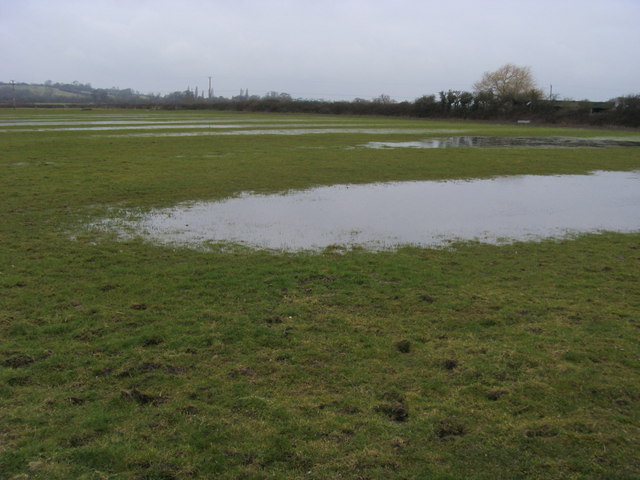
A watery Oxfordshire Way by Haynes Farm heading to Beckley
 Map © Crown Copyright")
TIP: Click the map for more Large scale mapping
- Grid Square
- SP5811, 8 images (more nearby 🔍)
- Photographer
- Shaun Ferguson (more nearby)
- Date Taken
- Wednesday, 25 February, 2009 (more nearby)
- Submitted
- Saturday, 28 February, 2009
- Subject Location
-
OSGB36:
 SP 587 118 [100m precision]
WGS84: 51:48.1166N 1:8.9374W - Camera Location
-
OSGB36: SP 588 118
- View Direction
- West-northwest (about 292 degrees)