2009
SX6967 : Footpath to Combe
taken 15 years ago, near to Scorriton, Devon, England
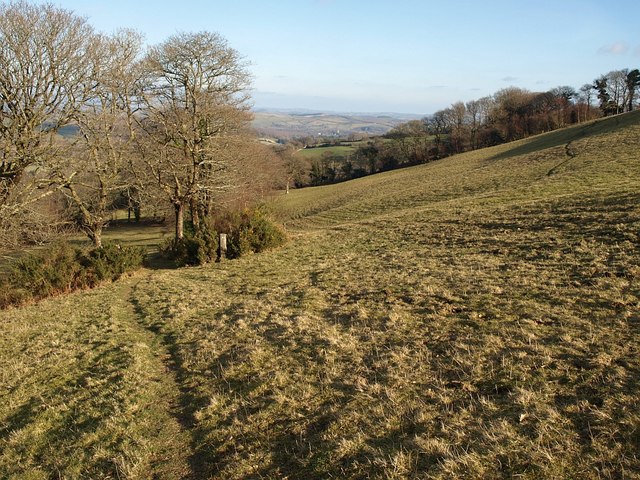
Footpath to Combe
Taken a little further down West Buckfastleigh Footpath 4 from SX6967 : Two Moors Way above Combe and SX6967 : Drinking trough above Scae Wood. The path approaches an angle in a line of trees above Scae Wood, and the view across Buckfast begins to disappear.
 Map © Crown Copyright")
TIP: Click the map for more Large scale mapping
- Grid Square
- SX6967, 24 images (more nearby 🔍)
- Photographer
- Derek Harper (more nearby)
- Date Taken
- Saturday, 21 February, 2009 (more nearby)
- Submitted
- Sunday, 1 March, 2009
- Subject Location
-
OSGB36:
 SX 6920 6769 [10m precision]
WGS84: 50:29.6623N 3:50.7269W - Camera Location
-
OSGB36: SX 6917 6769
- View Direction
- EAST (about 90 degrees)