2009
NY7296 : Rock outcrop on Long Crag
taken 15 years ago, near to Long Crag [other Features], Northumberland, Great Britain
This is 1 of 2 images, with title Rock outcrop on Long Crag in this square
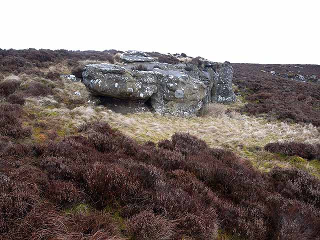
Rock outcrop on Long Crag
Part of an extremely remote and inaccessible area in northern Northumberland, an enclave of some 40 square Kilometres comprising just two farms and an extensive area of very rough wet moorland, almost totally surrounded by Kielder Forest. Heather and bilberry predominate at the top of this crag.
 Map © Crown Copyright")
TIP: Click the map for more Large scale mapping
- Grid Square
- NY7296, 7 images (more nearby 🔍)
- Photographer
- Oliver Dixon (more nearby)
- Date Taken
- Saturday, 28 February, 2009 (more nearby)
- Submitted
- Monday, 2 March, 2009
- Subject Location
-
OSGB36:
 NY 727 961 [100m precision]
WGS84: 55:15.5364N 2:25.7985W - Camera Location
-
OSGB36: NY 727 961
- View Direction
- North-northeast (about 22 degrees)