2005
SS8647 : Porlock Bay From Porlock Weir, Somerset
taken 19 years ago, near to Porlock Weir, Somerset, England
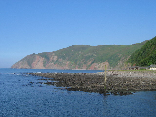
Porlock Bay From Porlock Weir, Somerset
Porlock Weir lies about 1.5 miles west of Porlock and is a small settlement, which has grown up around the harbour. Facing east, from here, towards Hurlstone Point, this is the beautiful view of Porlock Bay.
 Map © Crown Copyright")
TIP: Click the map for more Large scale mapping
- Grid Square
- SS8647, 184 images (more nearby 🔍)
- Photographer
- Catherine Edwards (more nearby)
- Date Taken
- Wednesday, 8 June, 2005 (more nearby)
- Submitted
- Wednesday, 8 February, 2006
- Subject Location
-
OSGB36:
 SS 869 478 [100m precision]
WGS84: 51:13.0897N 3:37.2478W - Camera Location
-
OSGB36: SS 868 478