2009
NT1117 : Gate, Fruid
taken 15 years ago, 4 km SW of Talla Linnfoots, Scottish Borders, Scotland
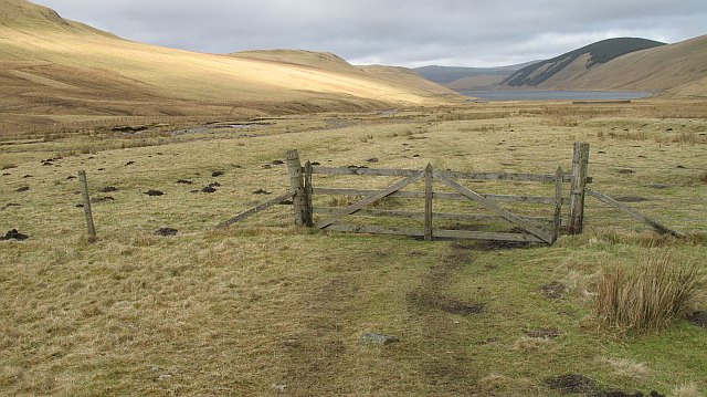
Gate, Fruid
The flat floor of the glen upstream of the Fruid Reservoir.
 Map © Crown Copyright")
TIP: Click the map for more Large scale mapping
- Grid Square
- NT1117, 11 images (more nearby 🔍)
- Photographer
- Richard Webb (more nearby)
- Date Taken
- Sunday, 22 February, 2009 (more nearby)
- Submitted
- Monday, 2 March, 2009
- Subject Location
-
OSGB36:
 NT 111 171 [100m precision]
WGS84: 55:26.3922N 3:24.3464W - Camera Location
-
OSGB36: NT 111 170
- View Direction
- North-northwest (about 337 degrees)