1998
SH7010 : Beudy (ruin)
taken 26 years ago, near to Tal-y-Llyn, Gwynedd, Wales
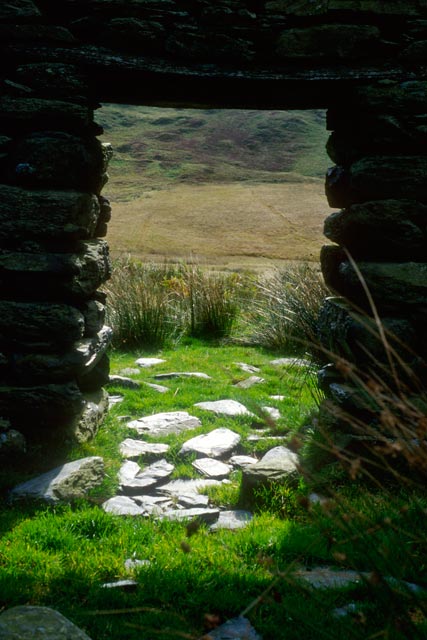
Beudy (ruin)
A roofless out-barn / cowshed on the moor between Rhiw'rogof and Pencoed - beautiful stonework, now abandoned.
 Map © Crown Copyright")
TIP: Click the map for more Large scale mapping
- Grid Square
- SH7010, 9 images (more nearby 🔍)
- Photographer
- Roger Whitfield (more nearby)
- Date Taken
- 1998 (more nearby)
- Submitted
- Tuesday, 3 March, 2009
- Subject Location
-
OSGB36:
 SH 700 103 [100m precision]
WGS84: 52:40.4858N 3:55.4499W - Camera Location
-
OSGB36: SH 700 103
- View Direction
- SOUTH (about 180 degrees)