2009
SU0675 : Farmland south-west of Clyffe Pypard
taken 15 years ago, near to Clyffe Pypard, Wiltshire, England
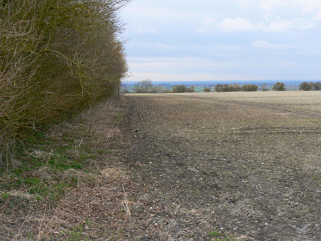
Farmland south-west of Clyffe Pypard
The field is at the top of an escarpment which drops down into a broad valley to the east of Lyneham.
 Map © Crown Copyright")
TIP: Click the map for more Large scale mapping
- Grid Square
- SU0675, 8 images (more nearby 🔍)
- Photographer
- Brian Robert Marshall (more nearby)
- Date Taken
- Monday, 2 March, 2009 (more nearby)
- Submitted
- Tuesday, 3 March, 2009
- Subject Location
-
OSGB36:
 SU 0651 7599 [10m precision]
WGS84: 51:28.9697N 1:54.4586W - Camera Location
-
OSGB36: SU 0658 7594
- View Direction
- Northwest (about 315 degrees)