2006
SE2621 : Top of Chickenley Lane
taken 18 years ago, near to Dewsbury, Kirklees, England
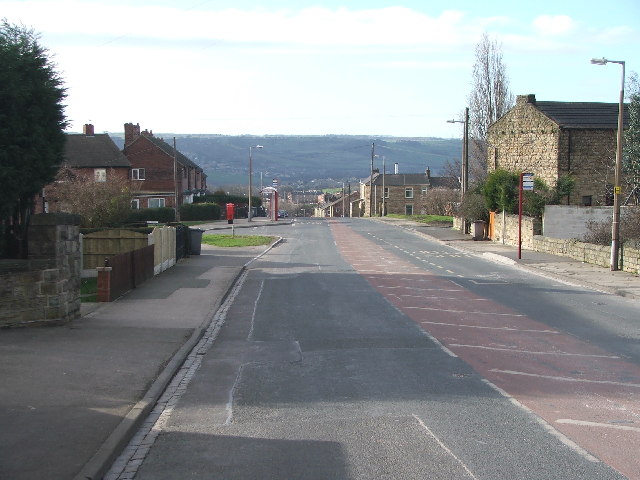
Top of Chickenley Lane
Looking SW towards the junction of Hazel Crescent (l) and School Street (r).
 Map © Crown Copyright")
TIP: Click the map for more Large scale mapping
- Grid Square
- SE2621, 113 images (more nearby 🔍)
- Photographer
- Steve Partridge (more nearby)
- Date Taken
- Thursday, 9 February, 2006 (more nearby)
- Submitted
- Thursday, 9 February, 2006
- Subject Location
-
OSGB36:
 SE 266 215 [100m precision]
WGS84: 53:41.3567N 1:35.9209W - Camera Location
-
OSGB36: SE 267 216
- View Direction
- Southwest (about 225 degrees)