2009
TQ1649 : Holly House
taken 15 years ago, near to Dorking, Surrey, England
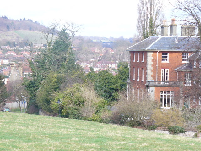
Holly House
One of the many large Victorian buildings on Rose Hill. The view here to the north, across Dorking, takes in Ranmore Common and the Mole Gap.
 Map © Crown Copyright")
TIP: Click the map for more Large scale mapping
- Grid Square
- TQ1649, 805 images (more nearby 🔍)
- Photographer
- Colin Smith (more nearby)
- Date Taken
- Saturday, 7 March, 2009 (more nearby)
- Submitted
- Saturday, 7 March, 2009
- Subject Location
-
OSGB36:
 TQ 165 491 [100m precision]
WGS84: 51:13.7783N 0:19.8947W - Camera Location
-
OSGB36: TQ 166 491
- View Direction
- North-northwest (about 337 degrees)