2009
TG2020 : Field/woodland boundary
taken 15 years ago, near to Hevingham, Norfolk, England
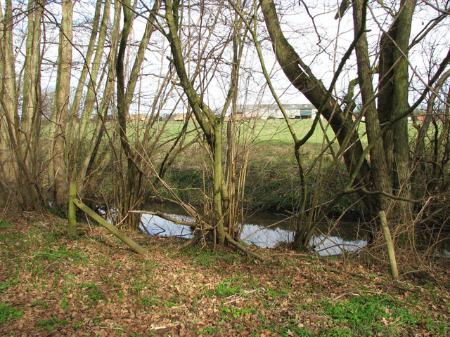
Field/woodland boundary
Coppiced trees are growing alongside a stream which here separates Hevingham Park from the field on the other side. The sheds glimpsed in the background belong to Park Farm.
 Map © Crown Copyright")
TIP: Click the map for more Large scale mapping
- Grid Square
- TG2020, 36 images (more nearby 🔍)
- Photographer
- Evelyn Simak (more nearby)
- Date Taken
- Monday, 9 March, 2009 (more nearby)
- Submitted
- Monday, 9 March, 2009
- Subject Location
-
OSGB36:
 TG 203 206 [100m precision]
WGS84: 52:44.3185N 1:15.7506E - Camera Location
-
OSGB36: TG 203 206
- View Direction
- North-northeast (about 22 degrees)