2009
SP0240 : Downrip Farm, Hinton on the Green
taken 15 years ago, near to Hinton on The Green, Worcestershire, England
This is 1 of 2 images, with title Downrip Farm, Hinton on the Green in this square
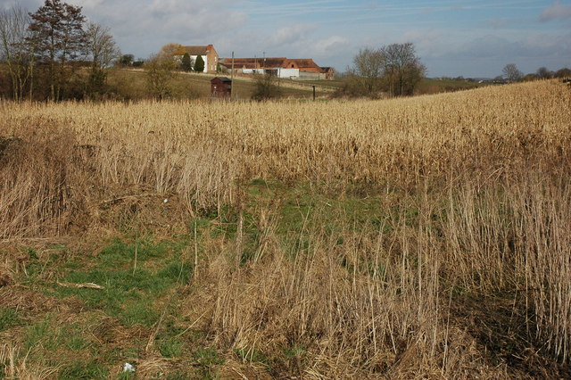
Downrip Farm, Hinton on the Green
Downrip Farm viewed from the road near the bridge over the River Isbourne which flows through the small valley in front of the farm.
 Map © Crown Copyright")
TIP: Click the map for more Large scale mapping
- Grid Square
- SP0240, 56 images (more nearby 🔍)
- Photographer
- Philip Halling (more nearby)
- Date Taken
- Saturday, 7 March, 2009 (more nearby)
- Submitted
- Tuesday, 10 March, 2009
- Subject Location
-
OSGB36:
 SP 023 408 [100m precision]
WGS84: 52:3.9719N 1:58.0367W - Camera Location
-
OSGB36: SP 025 405
- View Direction
- North-northwest (about 337 degrees)