2009
TQ6754 : Peregrine Road and Pippin Way Road junction
taken 15 years ago, near to King's Hill, Kent, England
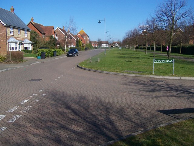
Peregrine Road and Pippin Way Road junction
This is part of the new village of King's Hill.
 Map © Crown Copyright")
TIP: Click the map for more Large scale mapping
- Grid Square
- TQ6754, 49 images (more nearby 🔍)
- Photographer
- David Anstiss (more nearby)
- Date Taken
- Friday, 6 March, 2009 (more nearby)
- Submitted
- Thursday, 12 March, 2009
- Subject Location
-
OSGB36:
 TQ 670 545 [100m precision]
WGS84: 51:15.9321N 0:23.5916E - Camera Location
-
OSGB36: TQ 670 545
- View Direction
- North-northeast (about 22 degrees)