2009
SP0637 : Farmland near Buckland
taken 15 years ago, near to Laverton, Gloucestershire, England
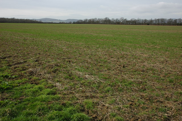
Farmland near Buckland
View across farmland to the west of Buckland. Alderton Hill and Dumbleton Hill, two Cotswold outliers can be seen in the background.
 Map © Crown Copyright")
TIP: Click the map for more Large scale mapping
- Grid Square
- SP0637, 17 images (more nearby 🔍)
- Photographer
- Philip Halling (more nearby)
- Date Taken
- Saturday, 7 March, 2009 (more nearby)
- Submitted
- Friday, 13 March, 2009
- Subject Location
-
OSGB36:
 SP 069 371 [100m precision]
WGS84: 52:1.9360N 1:54.0412W - Camera Location
-
OSGB36: SP 070 371
- View Direction
- WEST (about 270 degrees)