2009
TQ1712 : Field near Staplefields Farm
taken 15 years ago, near to Steyning, West Sussex, England
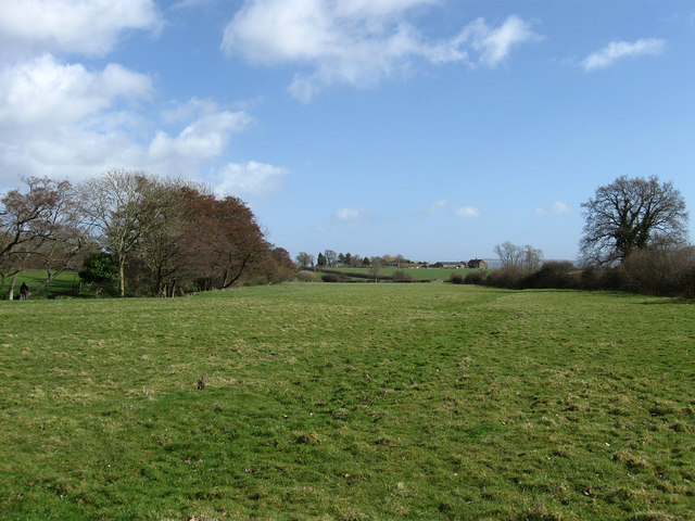
Field near Staplefields Farm
Viewed from the footpath that links the Steyning By-Pass with the farm. On the left is a small unnamed stream by which a bridleway runs towards Greenfields which can be seen in the distance.
 Map © Crown Copyright")
TIP: Click the map for more Large scale mapping
- Grid Square
- TQ1712, 67 images (more nearby 🔍)
- Photographer
- Simon Carey (more nearby)
- Date Taken
- Sunday, 8 March, 2009 (more nearby)
- Submitted
- Saturday, 14 March, 2009
- Subject Location
-
OSGB36:
 TQ 177 122 [100m precision]
WGS84: 50:53.8745N 0:19.5924W - Camera Location
-
OSGB36: TQ 176 122
- View Direction
- EAST (about 90 degrees)