2006
TG1711 : The Harte, Costessey
taken 18 years ago, near to Costessey, Norfolk, England
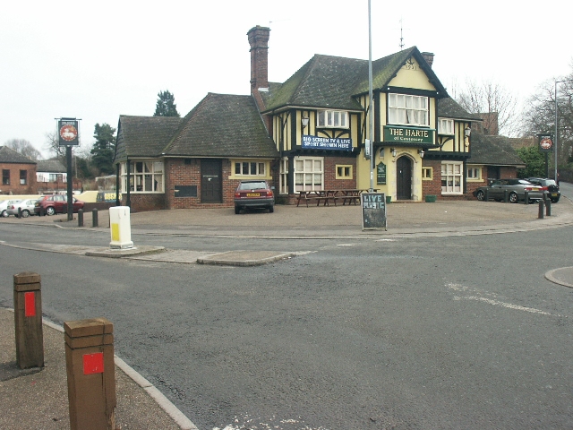
The Harte, Costessey
At the main junction in (Old) Costessey.
 Map © Crown Copyright")
TIP: Click the map for more Large scale mapping
- Grid Square
- TG1711, 6 images (more nearby 🔍)
- Photographer
- Katy Walters (more nearby)
- Date Taken
- Saturday, 11 February, 2006 (more nearby)
- Submitted
- Saturday, 11 February, 2006
- Subject Location
-
OSGB36:
 TG 172 116 [100m precision]
WGS84: 52:39.5523N 1:12.6441E - Camera Location
-
OSGB36: TG 171 116
- View Direction
- East-northeast (about 67 degrees)