2009
SX7566 : Hillside near Baddaford
taken 15 years ago, near to Buckfast, Devon, England
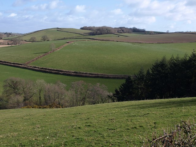
Hillside near Baddaford
Taken from the same spot as SX7566 : Towards Baddaford, looking across the valley below Baddaford, with Staverton Byway 35 gradually climbing the hillside. On the right, a conifer plantation descends the slopes below to lane to High Beara.
 Map © Crown Copyright")
TIP: Click the map for more Large scale mapping
- Grid Square
- SX7566, 17 images (more nearby 🔍)
- Photographer
- Derek Harper (more nearby)
- Date Taken
- Monday, 9 March, 2009 (more nearby)
- Submitted
- Sunday, 15 March, 2009
- Subject Location
-
OSGB36:
 SX 755 669 [100m precision]
WGS84: 50:29.3186N 3:45.3846W - Camera Location
-
OSGB36: SX 7528 6674
- View Direction
- Northeast (about 45 degrees)