2009
SK5544 : Padstow Road
taken 15 years ago, near to Bulwell, Nottingham, England
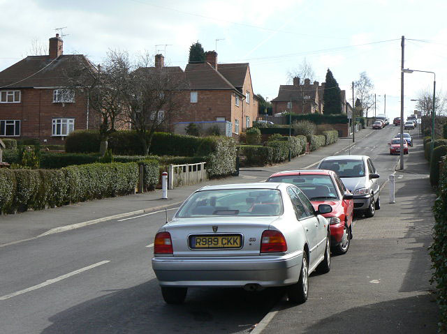
Padstow Road
This marked the end of the older part of the development, with a gap of some 40 years before the part of the estate to the east was constructed in the early 1980s.
 Map © Crown Copyright")
TIP: Click the map for more Large scale mapping
- Grid Square
- SK5544, 50 images (more nearby 🔍)
- Photographer
- Alan Murray-Rust (more nearby)
- Date Taken
- Sunday, 15 March, 2009 (more nearby)
- Submitted
- Sunday, 15 March, 2009
- Subject Location
-
OSGB36:
 SK 556 447 [100m precision]
WGS84: 52:59.8478N 1:10.3549W - Camera Location
-
OSGB36: SK 555 448
- View Direction
- Southeast (about 135 degrees)