2009
TF6820 : Path of dismantled railway line
taken 15 years ago, near to Bawsey, Norfolk, England
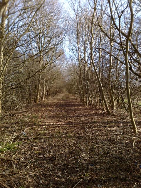
Path of dismantled railway line
 Map © Crown Copyright")
TIP: Click the map for more Large scale mapping
- Grid Square
- TF6820, 8 images (more nearby 🔍)
- Photographer
- Martin Pearman (more nearby)
- Date Taken
- Sunday, 15 March, 2009 (more nearby)
- Submitted
- Monday, 16 March, 2009
- Subject Location
-
OSGB36:
 TF 6808 2095 [10m precision]
WGS84: 52:45.6004N 0:29.3663E - Camera Location
-
OSGB36: TF 6803 2090
- View Direction
- Northeast (about 45 degrees)