2009
SX4064 : Field on Pentillie Castle estate
taken 15 years ago, near to Halton Quay, Cornwall, England
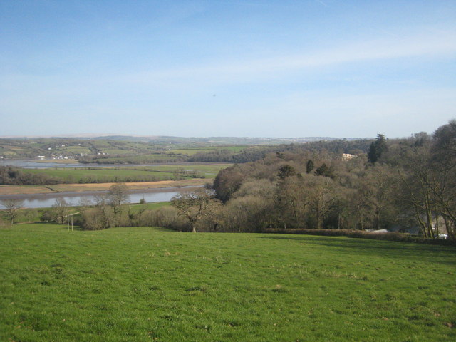
Field on Pentillie Castle estate
Looking down towards the large meander on the River Tamar from the path leading to Mount Ararat. Pentillie Castle can be seen amongst the trees on the right.
 Map © Crown Copyright")
TIP: Click the map for more Large scale mapping
- Grid Square
- SX4064, 12 images (more nearby 🔍)
- Photographer
- Rod Allday (more nearby)
- Date Taken
- Sunday, 15 March, 2009 (more nearby)
- Submitted
- Monday, 16 March, 2009
- Subject Location
-
OSGB36:
 SX 407 648 [100m precision]
WGS84: 50:27.7083N 4:14.6942W - Camera Location
-
OSGB36: SX 406 649
- View Direction
- Southeast (about 135 degrees)