2009
SE2369 : Finding the Footpath
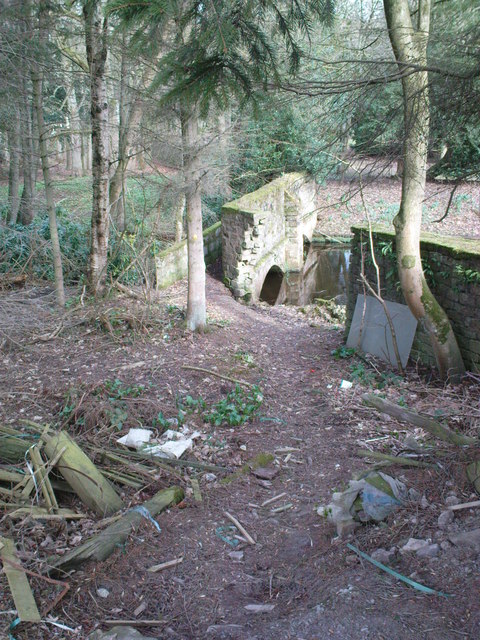
taken 15 years ago, near to High Grantley, North Yorkshire, England
Finding the Footpath
Looking down at the stone footbridge over the Skell at the back of the Sawmill Yard. It was shear luck that I chose the correct pallet of stakes to look behind.
 Map © Crown Copyright")
TIP: Click the map for more Large scale mapping
- Grid Square
- SE2369, 36 images (more nearby 🔍)
- Photographer
- Matthew Hatton (more nearby)
- Date Taken
- Thursday, 12 March, 2009 (more nearby)
- Submitted
- Monday, 16 March, 2009
- Subject Location
-
OSGB36:
 SE 239 693 [100m precision]
WGS84: 54:7.1840N 1:38.1140W - Camera Location
-
OSGB36: SE 239 693
- View Direction
- North-northwest (about 337 degrees)