2009
SU0318 : Bowling Green Lane, Pentridge
taken 15 years ago, near to Pentridge, Dorset, England
This is 1 of 4 images, with title Bowling Green Lane, Pentridge in this square
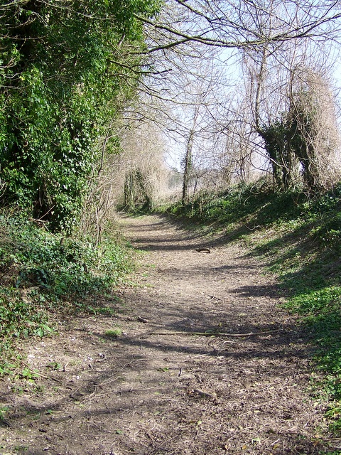
Bowling Green Lane, Pentridge
The bridleway takes riders and walkers from the minor road to Martin Down Nature Reserve.
 Map © Crown Copyright")
TIP: Click the map for more Large scale mapping
- Grid Square
- SU0318, 16 images (more nearby 🔍)
- Photographer
- Maigheach-gheal (more nearby)
- Date Taken
- Tuesday, 17 March, 2009 (more nearby)
- Submitted
- Tuesday, 17 March, 2009
- Subject Location
-
OSGB36:
 SU 031 183 [100m precision]
WGS84: 50:57.8792N 1:57.3739W - Camera Location
-
OSGB36: SU 031 182
- View Direction
- North-northeast (about 22 degrees)