2009
NH8940 : River Findhorn from Maol an Tailleir Moorland Track
taken 15 years ago, near to Banchor, Highland, Scotland
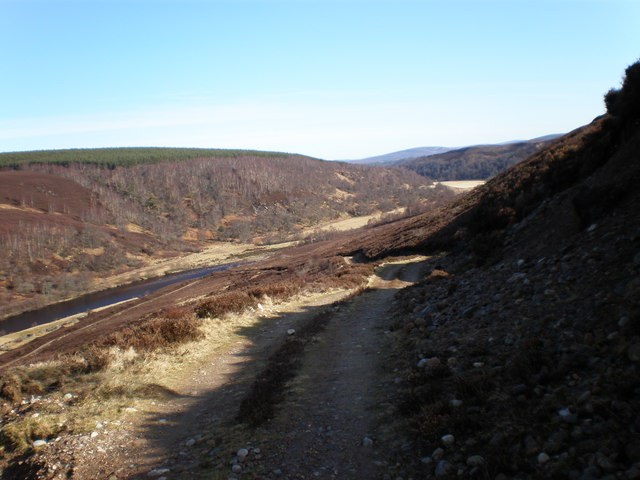
River Findhorn from Maol an Tailleir Moorland Track
 Map © Crown Copyright")
TIP: Click the map for more Large scale mapping
- Grid Square
- NH8940, 7 images (more nearby 🔍)
- Photographer
- Sarah McGuire (more nearby)
- Date Taken
- Tuesday, 17 March, 2009 (more nearby)
- Submitted
- Tuesday, 17 March, 2009
- Subject Location
-
OSGB36:
 NH 897 402 [100m precision]
WGS84: 57:26.3545N 3:50.2679W - Camera Location
-
OSGB36: NH 890 400
- View Direction
- East-northeast (about 67 degrees)