2009
SD4357 : Fields at Bazil Farm
taken 15 years ago, near to Overton, Lancashire, England
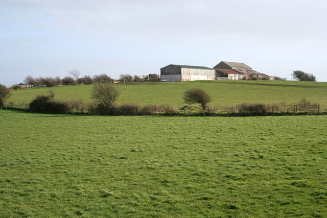
Fields at Bazil Farm
Bazil Farm sits right on the grid boundary between the featured square and SD4356. This was taken from the footpath along the top of the flood bank on the west side of Bazil Point.
 Map © Crown Copyright")
TIP: Click the map for more Large scale mapping
- Grid Square
- SD4357, 58 images (more nearby 🔍)
- Photographer
- Kate Jewell (more nearby)
- Date Taken
- Saturday, 14 March, 2009 (more nearby)
- Submitted
- Tuesday, 17 March, 2009
- Subject Location
-
OSGB36:
 SD 436 570 [100m precision]
WGS84: 54:0.3723N 2:51.6480W - Camera Location
-
OSGB36: SD 435 572
- View Direction
- South-southeast (about 157 degrees)