2009
SD5243 : Farm by River Calder
taken 15 years ago, near to Claughton, Lancashire, England
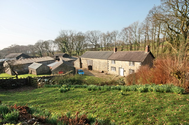
Farm by River Calder
Not named on maps, and no sign visible on the ground.
 Map © Crown Copyright")
TIP: Click the map for more Large scale mapping
- Grid Square
- SD5243, 19 images (more nearby 🔍)
- Photographer
- Bob Jenkins (more nearby)
- Date Taken
- Wednesday, 18 March, 2009 (more nearby)
- Submitted
- Wednesday, 18 March, 2009
- Subject Location
-
OSGB36:
 SD 521 435 [100m precision]
WGS84: 53:53.1277N 2:43.8129W - Camera Location
-
OSGB36: SD 521 435
- View Direction
- Northwest (about 315 degrees)