2009
SD3840 : Tidal Creek near Liscoe Farm
taken 15 years ago, near to Whin Lane End, Lancashire, England
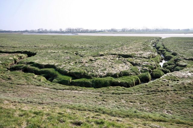
Tidal Creek near Liscoe Farm
Drains into the River Wyre
 Map © Crown Copyright")
TIP: Click the map for more Large scale mapping
- Grid Square
- SD3840, 11 images (more nearby 🔍)
- Photographer
- Bob Jenkins (more nearby)
- Date Taken
- Thursday, 19 March, 2009 (more nearby)
- Submitted
- Thursday, 19 March, 2009
- Subject Location
-
OSGB36:
 SD 385 406 [100m precision]
WGS84: 53:51.4778N 2:56.1906W - Camera Location
-
OSGB36: SD 385 406
- View Direction
- Southeast (about 135 degrees)