2009
TQ6647 : Footpath junction near River Medway
taken 15 years ago, near to Whetsted, Kent, England
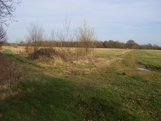
Footpath junction near River Medway
The Medway Valley Walk takes footpath on left leading to Beltring. The path on the right uses a farm track leading to Lily Hoo Farm, and onto the A228 Whetsted Road.
 Map © Crown Copyright")
TIP: Click the map for more Large scale mapping
- Grid Square
- TQ6647, 90 images (more nearby 🔍)
- Photographer
- David Anstiss (more nearby)
- Date Taken
- Monday, 16 March, 2009 (more nearby)
- Submitted
- Friday, 20 March, 2009
- Subject Location
-
OSGB36:
 TQ 660 472 [100m precision]
WGS84: 51:12.0088N 0:22.5464E - Camera Location
-
OSGB36: TQ 660 472
- View Direction
- East-northeast (about 67 degrees)