2006
NJ2565 : RAF Milltown
taken 18 years ago, 3 km from Lochhill, Moray, Scotland
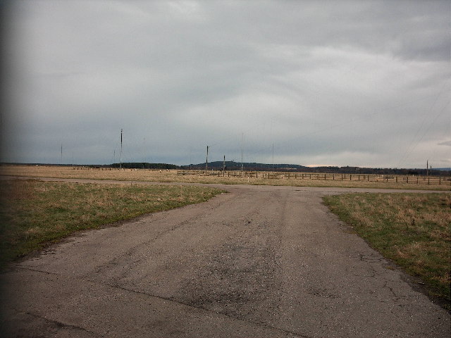
RAF Milltown
This is an entrance to RAF Milltown on the B9103 road to Lossiemouth, just opposite Balliesland Farm. Milltown was originally a "dummy" or "Q" site to divert enemy attention from nearby RAF Lossiemouth during WWII. Developed later as a proper airfield but was eventually closed to flying in 1977 and is now a communications centre covered with a forest of aerials. The old perimeter tracks are used today on the Milltown Stages Rally.
 Map © Crown Copyright")
TIP: Click the map for more Large scale mapping
- Grid Square
- NJ2565, 5 images (more nearby 🔍)
- Photographer
- Christopher Gillan (more nearby)
- Date Taken
- Saturday, 11 February, 2006 (more nearby)
- Submitted
- Sunday, 12 February, 2006
- Subject Location
-
OSGB36:
 NJ 257 654 [100m precision]
WGS84: 57:40.3386N 3:14.8383W