2009
SP3274 : Arable, King's Hill Lane
taken 15 years ago, near to Stoneleigh, Warwickshire, England
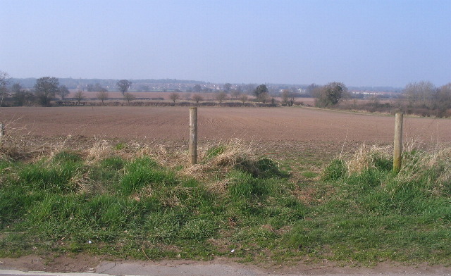
Arable, King's Hill Lane
Looking across ploughed fields toward housing in the southwest of Coventry.
 Map © Crown Copyright")
TIP: Click the map for more Large scale mapping
- Grid Square
- SP3274, 19 images (more nearby 🔍)
- Photographer
- E Gammie (more nearby)
- Date Taken
- Saturday, 21 March, 2009 (more nearby)
- Submitted
- Saturday, 21 March, 2009
- Subject Location
-
OSGB36:
 SP 3252 7461 [10m precision]
WGS84: 52:22.1148N 1:31.4281W - Camera Location
-
OSGB36: SP 3258 7452
- View Direction
- North-northwest (about 337 degrees)