2009
NS7906 : Confluence of burns
taken 15 years ago, near to Mennock, Dumfries And Galloway, Scotland
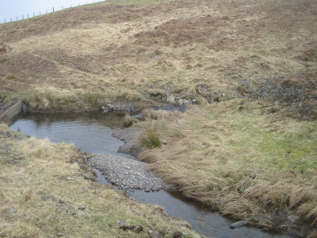
Confluence of burns
The Minny E' Burn (mid-right) is a tributary of the Twentyshilling Burn. The structure on the left is a make-shift bridge.
 Map © Crown Copyright")
TIP: Click the map for more Large scale mapping
- Grid Square
- NS7906, 3 images (more nearby 🔍)
- Photographer
- Kath Jones (more nearby)
- Date Taken
- Saturday, 21 March, 2009 (more nearby)
- Submitted
- Sunday, 22 March, 2009
- Subject Location
-
OSGB36:
 NS 798 061 [100m precision]
WGS84: 55:20.0642N 3:53.7210W - Camera Location
-
OSGB36: NS 798 061
- View Direction
- East-northeast (about 67 degrees)