2009
SN7573 : Pasture near to Pont-Rhyd-y-Groes, Ceredigion
taken 15 years ago, near to Pont-Rhyd-y-Groes, Ceredigion/Sir Ceredigion, Wales
This is 1 of 2 images, with title Pasture near to Pont-Rhyd-y-Groes, Ceredigion in this square
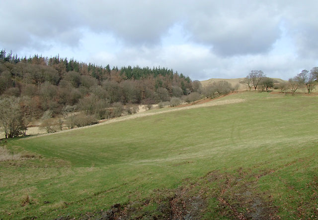
Pasture near to Pont-Rhyd-y-Groes, Ceredigion
Nant Lledwenau, below the woodland, flows down the valley and feeds into the Afon Ystwyth. The wooded hillside is Cefn Dyrys.
 Map © Crown Copyright")
TIP: Click the map for more Large scale mapping
- Grid Square
- SN7573, 40 images (more nearby 🔍)
- Photographer
- Roger D Kidd (more nearby)
- Date Taken
- Sunday, 15 March, 2009 (more nearby)
- Submitted
- Sunday, 22 March, 2009
- Subject Location
-
OSGB36:
 SN 753 736 [100m precision]
WGS84: 52:20.8020N 3:49.9242W - Camera Location
-
OSGB36: SN 753 734
- View Direction
- NORTH (about 0 degrees)