2006
NO6655 : Rough Grazing and Woodland
taken 18 years ago, near to Bonnyton, Angus, Scotland
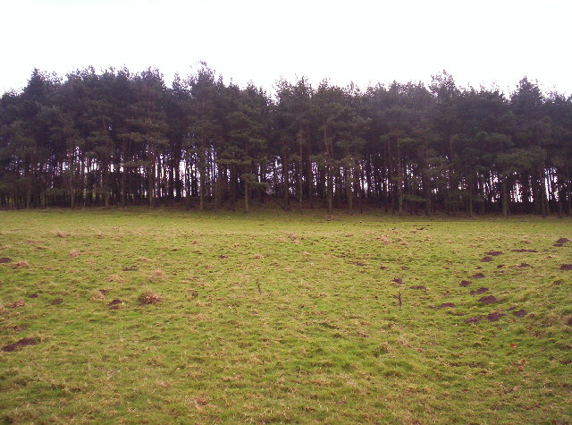
Rough Grazing and Woodland
This is the steep slope at the edge of Rossie Moor
 Map © Crown Copyright")
TIP: Click the map for more Large scale mapping
- Grid Square
- NO6655, 12 images (more nearby 🔍)
- Photographer
- Dominic Dawn Harry and Jacob Paterson (more nearby)
- Date Taken
- Tuesday, 14 February, 2006 (more nearby)
- Submitted
- Tuesday, 14 February, 2006
- Subject Location
-
OSGB36:
 NO 663 555 [100m precision]
WGS84: 56:41.4006N 2:33.1071W - Camera Location
-
OSGB36: NO 663 557