2009
SK2029 : River Dove and Mill Sluices
taken 15 years ago, near to Tutbury, Staffordshire, England
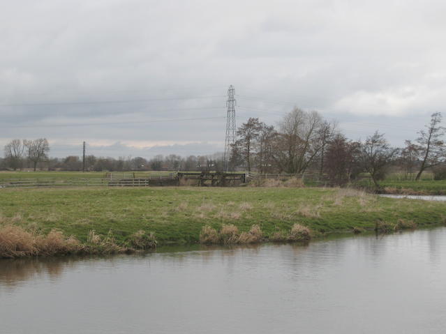
River Dove and Mill Sluices
Looking across the meanders in the river towards SK2029 : Sluices by the River Dove serving the mill leat for the former mill in Tutbury.
 Map © Crown Copyright")
TIP: Click the map for more Large scale mapping
- Grid Square
- SK2029, 40 images (more nearby 🔍)
- Photographer
- David Stowell (more nearby)
- Date Taken
- Tuesday, 10 March, 2009 (more nearby)
- Submitted
- Saturday, 28 March, 2009
- Subject Location
-
OSGB36:
 SK 203 293 [100m precision]
WGS84: 52:51.6485N 1:41.9960W - Camera Location
-
OSGB36: SK 202 292
- View Direction
- Northeast (about 45 degrees)