2009
ST5961 : 2009 : Moorledge Lane
taken 15 years ago, near to Stanton Drew, Bath And North East Somerset, England
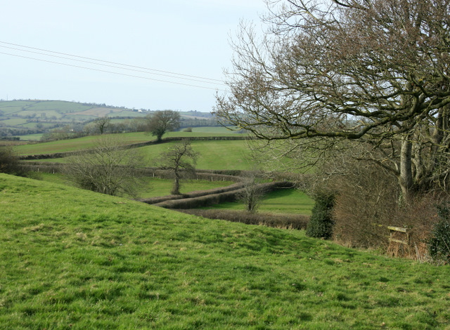
2009 : Moorledge Lane
Past Curl's Wood, Moorledge Lane winds its way south towards Gold's Cross.
 Map © Crown Copyright")
TIP: Click the map for more Large scale mapping
- Grid Square
- ST5961, 14 images (more nearby 🔍)
- Photographer
- Maurice Pullin (more nearby)
- Date Taken
- Sunday, 15 March, 2009 (more nearby)
- Submitted
- Monday, 30 March, 2009
- Subject Location
-
OSGB36:
 ST 595 614 [100m precision]
WGS84: 51:21.0460N 2:34.9506W - Camera Location
-
OSGB36: ST 595 616
- View Direction
- South-southwest (about 202 degrees)