2006
SU6996 : Oxfordshire Way near Pyrton
taken 18 years ago, near to Pyrton, Oxfordshire, England
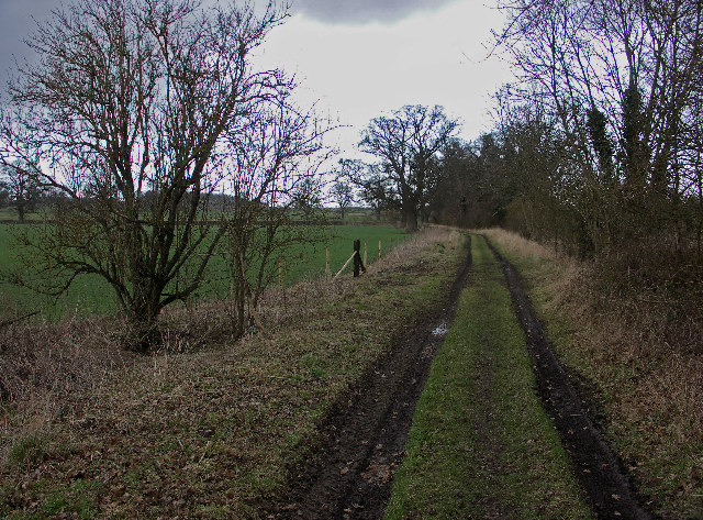
Oxfordshire Way near Pyrton
The Oxfordshire Way runs for 65 miles through the county. It was created in the early 1970s by the Oxfordshire branch of the Council for the Protection of Rural England (CPRE).
 Map © Crown Copyright")
TIP: Click the map for more Large scale mapping
- Grid Square
- SU6996, 8 images (more nearby 🔍)
- Photographer
- David Ellis (more nearby)
- Date Taken
- Wednesday, 15 February, 2006 (more nearby)
- Submitted
- Friday, 17 February, 2006
- Subject Location
-
OSGB36:
 SU 693 963 [100m precision]
WGS84: 51:39.6732N 0:59.9701W - Camera Location
-
OSGB36: SU 692 963