2006
SU6796 : Farmland near Pyrton
taken 18 years ago, near to Pyrton, Oxfordshire, England
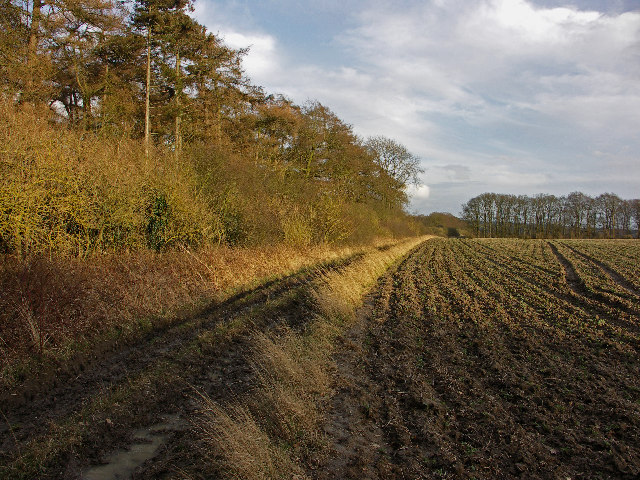
Farmland near Pyrton
Photograph looking southeast towards Pyrton village with Diamond Plantation on the left. This rich farmland lies near the spring-line at the foot of the Chilterns.
 Map © Crown Copyright")
TIP: Click the map for more Large scale mapping
- Grid Square
- SU6796, 7 images (more nearby 🔍)
- Photographer
- David Ellis (more nearby)
- Date Taken
- Wednesday, 15 February, 2006 (more nearby)
- Submitted
- Friday, 17 February, 2006
- Subject Location
-
OSGB36:
 SU 677 965 [100m precision]
WGS84: 51:39.7927N 1:1.3554W - Camera Location
-
OSGB36: SU 676 965