2009
SU8764 : Eastern Redoubt
taken 15 years ago, 3 km from Camberley, Surrey, England
Eastern Redoubt
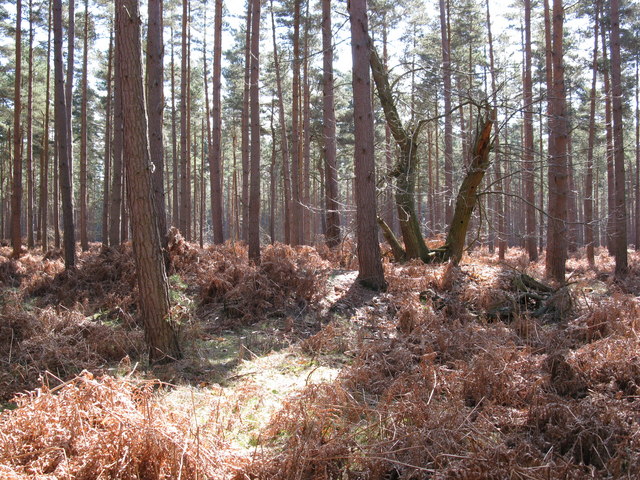
Not so easy to see but easily visible on the ground. This is one of six redoubts (see also Link in this grid square). Five of the redoubts are shown on the 1:25000 OS map but not this one, despite it being larger than some of the others. The redoubts were constructed for military training in July 1792. The banks are roughly 15 metre square constructions, 2 metres high with a shallow ditch all around.
 Map © Crown Copyright")
TIP: Click the map for more Large scale mapping
- Grid Square
- SU8764, 31 images (more nearby 🔍)
- Photographer
- don cload (more nearby)
- Date Taken
- Monday, 30 March, 2009 (more nearby)
- Submitted
- Thursday, 2 April, 2009
- Subject Location
-
OSGB36:
 SU 877 644 [100m precision]
WGS84: 51:22.3243N 0:44.4623W - Camera Location
-
OSGB36: SU 876 644
- View Direction
- EAST (about 90 degrees)