2006
SD8317 : Barn Brook derelict building
taken 18 years ago, near to Cheesden, Rochdale, England
This is 1 of 2 images, with title starting with Barn Brook in this square
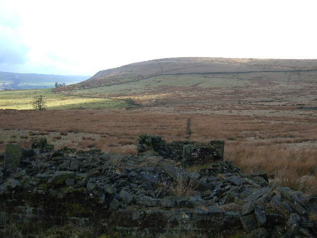
Barn Brook derelict building
The derelict building in the foreground is named as Barn Brook on the OS 1/25,000 map. It is on the edge of this grid square so the distant view is representative of SD8217.
 Map © Crown Copyright")
TIP: Click the map for more Large scale mapping
- Grid Square
- SD8317, 59 images (more nearby 🔍)
- Photographer
- michael ely (more nearby)
- Date Taken
- Friday, 17 February, 2006 (more nearby)
- Submitted
- Friday, 17 February, 2006
- Subject Location
-
OSGB36:
 SD 831 172 [100m precision]
WGS84: 53:39.0614N 2:15.4293W