2009
NN6530 : High ground above Glen Beich
taken 15 years ago, near to Meall Daimh [hill or Mountain], Perth And Kinross, Great Britain
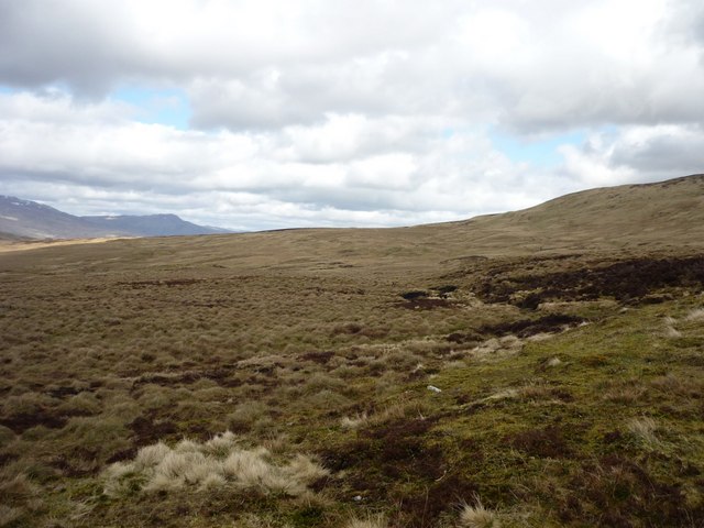
High ground above Glen Beich
In this square, rough and often boggy ground slopes west from Meall Daimh, dropping from 650m to 450m towards upper Glen Beich.
 Map © Crown Copyright")
TIP: Click the map for more Large scale mapping
- Grid Square
- NN6530, 5 images (more nearby 🔍)
- Photographer
- Gordon Morrison (more nearby)
- Date Taken
- Saturday, 11 April, 2009 (more nearby)
- Submitted
- Saturday, 11 April, 2009
- Subject Location
-
OSGB36:
 NN 653 306 [100m precision]
WGS84: 56:26.9187N 4:11.1453W - Camera Location
-
OSGB36: NN 650 300
- View Direction
- North-northeast (about 22 degrees)