2008
SP7219 : Pond near Doddershall House
taken 16 years ago, 3 km from Westcott, Buckinghamshire, England
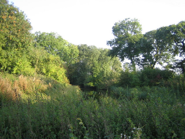
Pond near Doddershall House
Looking east, this pond has likely been formed by damming the small stream that runs east to west from other ponds including this one 1km away SP7219 : Pond near Upper South Farm 1, and ancient fish ponds near Shipton Lee, SP7320 : Fish Pond and sheep by Grange farm.
There are a number of ponds, moats and fisheries all along the course of this stream as it flows westwards, which with other streams becomes Tetchwick Brook, and then joins the River Ray west of Grendon Underwood 8km away.
There are a number of ponds, moats and fisheries all along the course of this stream as it flows westwards, which with other streams becomes Tetchwick Brook, and then joins the River Ray west of Grendon Underwood 8km away.
 Map © Crown Copyright")
TIP: Click the map for more Large scale mapping
- Grid Square
- SP7219, 20 images (more nearby 🔍)
- Photographer
- Andy Gryce (more nearby)
- Date Taken
- Saturday, 27 September, 2008 (more nearby)
- Submitted
- Monday, 13 April, 2009
- Subject Location
-
OSGB36:
 SP 720 198 [100m precision]
WGS84: 51:52.3492N 0:57.2838W - Camera Location
-
OSGB36: SP 720 198
- View Direction
- Southeast (about 135 degrees)