2006
SP1257 : Green Lane at Haselor
taken 18 years ago, near to Haselor, Warwickshire, England
Green Lane at Haselor
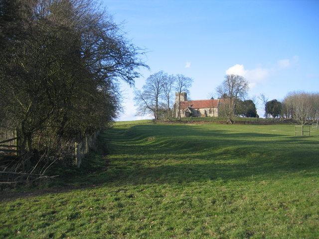
This is the view looking NW towards Haselor Church at the corner of field where several paths meet. The dip around the edge of the field here is still technically an unclassified road and clearly is an ancient right of way linking Upton and Walcote.
 Map © Crown Copyright")
TIP: Click the map for more Large scale mapping
- Grid Square
- SP1257, 42 images (more nearby 🔍)
- Photographer
- David Stowell (more nearby)
- Date Taken
- Saturday, 18 February, 2006 (more nearby)
- Submitted
- Sunday, 19 February, 2006
- Subject Location
-
OSGB36:
 SP 124 577 [100m precision]
WGS84: 52:13.0425N 1:49.1951W - View Direction
- Northwest (about 315 degrees)