2008
SP7021 : Grendon Wood
taken 16 years ago, near to Grendon Underwood, Buckinghamshire, England
Grendon Wood
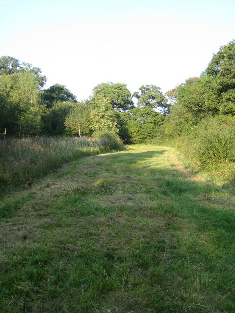
Grendon Wood is a close-packed mature broadleaved wood of about 21 hectares, predominantly oak, with ash, field maple, aspen and birch. This wood, together with the larger Doddershall Wood which adjoins it to the south, and the smaller Lee Wood to the east, is a Site of Special Scientific Interest (SSSI). The woods have long been known as a site of exceptional importance for butterflies of which no less than 35 species, some now very rare, have been recorded.
A part of these woods was within the medieval hunting Great Forest of Bernwood, see SP7221 : Finemere Wood. The woods are part of the estate of Doddershall House which is 2.5km to the south-east, SP7120 : Entrance, Doddershall House. The village of Grendon Underwood is 1.5km to the south-west. The name Grendon means 'green hill', and the addition of Underwood is believed to signify its vicinity to the forest of Bernwood.
This ride runs from the south-west edge to the north-east edge of the wood, a distance of 600m.
 Map © Crown Copyright")
TIP: Click the map for more Large scale mapping
- Grid Square
- SP7021, 28 images (more nearby 🔍)
- Photographer
- Andy Gryce (more nearby)
- Date Taken
- Saturday, 27 September, 2008 (more nearby)
- Submitted
- Thursday, 16 April, 2009
- Subject Location
-
OSGB36:
 SP 701 215 [100m precision]
WGS84: 51:53.2649N 0:58.9713W - Camera Location
-
OSGB36: SP 700 214
- View Direction
- Northeast (about 45 degrees)