2006
TQ7590 : Burnt Mills Rd
taken 18 years ago, near to North Benfleet, Essex, England
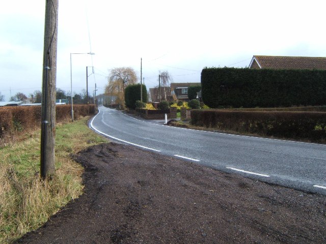
Burnt Mills Rd
This is Burnt Mills Road on the edge of Basildon, the photo was taken looking eastbound towards Pound Lane
 Map © Crown Copyright")
TIP: Click the map for more Large scale mapping
- Grid Square
- TQ7590, 16 images (more nearby 🔍)
- Photographer
- Glyn Baker (more nearby)
- Date Taken
- Tuesday, 21 February, 2006 (more nearby)
- Submitted
- Tuesday, 21 February, 2006
- Subject Location
-
OSGB36:
 TQ 751 903 [100m precision]
WGS84: 51:35.0611N 0:31.5586E - Camera Location
-
OSGB36: TQ 751 903
- View Direction
- EAST (about 90 degrees)