2006
SP0174 : Lower Bittell Reservoir
taken 18 years ago, near to Barnt Green, Worcestershire, England
This is 1 of 3 images, with title Lower Bittell Reservoir in this square
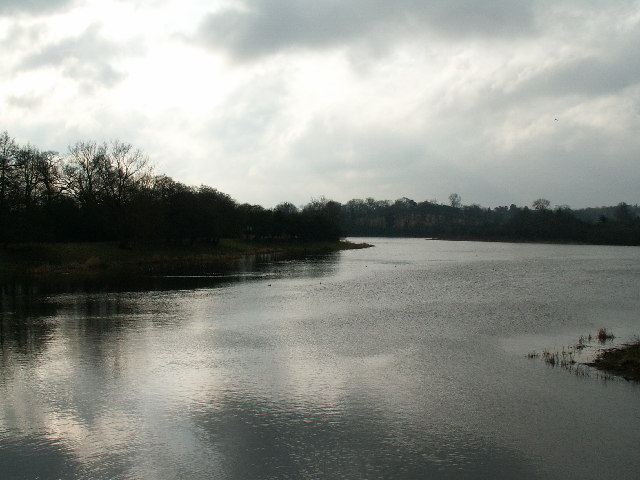
Lower Bittell Reservoir
Looking south from Bittell Farm Road which separates the lower part of the reservoir from Mill Shrub Pool. This reservoir was built in 1837 along with the neighbouring Upper Bittell Reservoir, in the valley of the River Arrow, to supply the Worcester and Birmingham Canal. The Lower reservoir acts as a compensation reservoir, and is used for private fishing. There is no general public access.
 Map © Crown Copyright")
TIP: Click the map for more Large scale mapping
- Grid Square
- SP0174, 21 images (more nearby 🔍)
- Photographer
- Phil Champion (more nearby)
- Date Taken
- Monday, 20 February, 2006 (more nearby)
- Submitted
- Friday, 24 February, 2006
- Subject Location
-
OSGB36:
 SP 018 744 [100m precision]
WGS84: 52:22.0588N 1:58.4993W