2005
NT4881 : Water monitoring station, Peffer Burn
taken 19 years ago, near to Gullane, East Lothian, Scotland
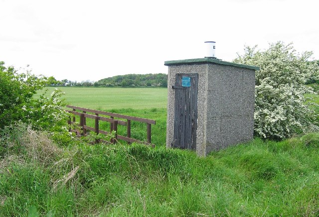
Water monitoring station, Peffer Burn.
Water board monitoring station. Beyond the bridge is a field that looks like a big lawn, this is growing turf. Lots of gardeners and golf courses requiring turf.
 Map © Crown Copyright")
TIP: Click the map for more Large scale mapping
- Grid Square
- NT4881, 48 images (more nearby 🔍)
- Photographer
- Richard Webb (more nearby)
- Date Taken
- Thursday, 26 May, 2005 (more nearby)
- Submitted
- Thursday, 26 May, 2005
- Subject Location
-
OSGB36:
 NT 48 81 [1000m precision]
WGS84: 56:1.4176N 2:49.6690W