2009
SP7125 : Claydon House: The Middle Lake
taken 15 years ago, near to Middle Claydon, Buckinghamshire, England
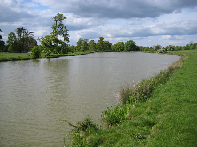
Claydon House: The Middle Lake
In the grounds of Claydon House three lakes forming a crescent shape were created for the 2nd Earl Verney in the 1760s and 1770s by the landscaping of the land along a minor tributary stream of Padbury Brook under the direction of John Sanderson of Caversham. This is the Middle Lake of the three.
 Map © Crown Copyright")
TIP: Click the map for more Large scale mapping
- Grid Square
- SP7125, 73 images (more nearby 🔍)
- Photographer
- Nigel Cox (more nearby)
- Date Taken
- Sunday, 3 May, 2009 (more nearby)
- Submitted
- Monday, 4 May, 2009
- Subject Location
-
OSGB36:
 SP 717 254 [100m precision]
WGS84: 51:55.3560N 0:57.5019W - Camera Location
-
OSGB36: SP 717 253
- View Direction
- NORTH (about 0 degrees)